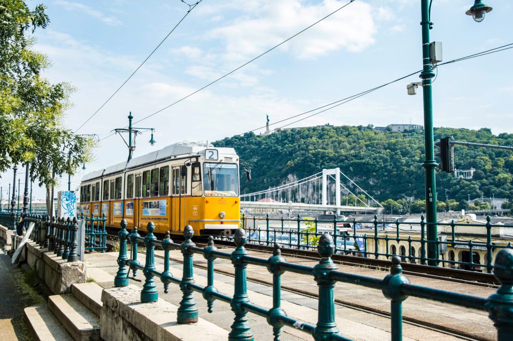
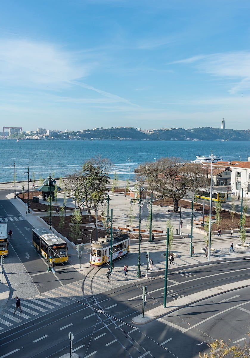
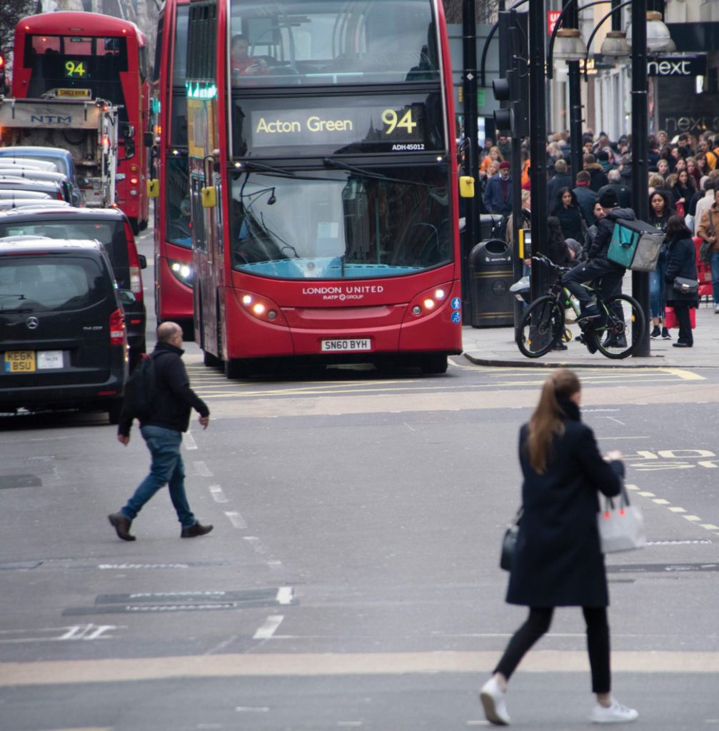
Get to know the MORE project tools for street space redesign and urban space reallocation!
To address the gaps in current street design and space allocation processes, MORE developed and enhanced tools to assist cities in the various stages, offering a complete co-creation consultation process. The web-based and physical tools facilitate this process, and cities can prioritise improvements via a variety of suggested key performance indicators to match local objectives.
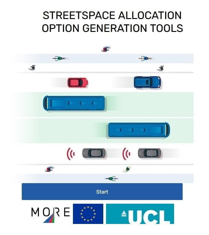
Road Design option generation tool
This tool combines a policy interventions tool and a road designs tool. The policy interventions tool generates broad options for types of policy interventions, providing information on how they can address the needs of the different road users and potentially meet policy objectives. The road designs tool generates detailed cross-sections of road space allocation designs, combining various design elements that serve different uses (e.g. pedestrian pavement, cycle lane, lanes for motorised traffic). Together they assist practitioners to have a more comprehensive and balanced set of possible road designs for public consultation and modelling, considering the local conditions, technical constraints and different uses. Tool here
Option Appraisal Tool
The Option Appraisal Tool is a tool to assist transport and urban planners to structurally compare different options for road space allocation through road design, taking into account the needs of all road users and a range of policy objectives. The tool has three independent modules that consider a political and technical assessment, a cost-benefit analysis and a multi-criteria analysis, besides the general inputs, such as performance indicators for the movement and place functions of the road and the economic, social, and environmental impacts. It is employed at the last stage of the road space reallocation to select the final road design. Tool here
Traffweb
Traffweb is a data portal that manages information on road issues and urban space design options. It is an innovative tool accessible to all stakeholders involved in the project, including citizens, centralising all collected information in one platform. The users can report issues in specific areas and comment on the proposed designs, allowing for a more appropriate response for road maintenance, safety, and the right use of new technologies. Traffweb enhances public engagement and facilitates the intricated laborious consultation process, also enabling an easy feedback loop. Tool here
LineMap
LineMap is a fast and accurate design tool that combines the technology of CAD programmes with the ideas collected during the public consultation process. As a result, it accelerates the application of road markings in possible scenarios, where the selected marking can be placed on the map to verify the suitability and appropriateness of the implementation in the chosen area. LineMap can be combined with other tools to get a more detailed overview of the area concerned and still manages to keep all the tracings recorded and separated from the main layout for legal and traffic engineering purposes. Tool here
Road Design Dynamic Simulator - PTV Vissim
PTV Vissim is a microscopic, time step oriented and behaviour-based simulation tool for modelling urban and rural traffic as well as pedestrian flows. Vissim allows simulating, analysing, and evaluating flows and interactions between pedestrian streams, bicycles, and public and private transport. With the new features developed in the MORE context, it offers better modelling of the complexity of the real world. It can give a realistic and dynamic microscopic modelling of lane driving, parking, loading and kerbside activities and better simulate the interaction of different traffic users on the street, on the kerbside and on places. Tool here
- Related Projects
- Related Members