Citylab: Mapping How Cities Are Reclaiming Street Space
The fight against coronavirus has brought cities to a standstill. With roughly one third of the global population under lockdown, vehicle traffic has all but vanished on the world’s busiest roads and highways. Public transit ridership in global metros has dropped by more than 80% since early January. For residents in one U.S. city, Seattle, the average daily travel distance has gone from the length of the Las Vegas Strip to that of a bowling alley.
But essential workers — doctors, nurses, grocers, pharmacists, delivery drivers, and others — are still commuting, and homebound folks must still make trips for survival goods. Now local governments are taking action to help that critical movement happen more easily: They’re striping new bike lanes, retooling traffic signals, suspending transit fares, closing some streets to vehicle traffic, and taking other temporary transportation measures. CityLab has mapped some of the changes happening on city streets in the U.S. and around the world as of April 3, using data from the National Association of Transportation Officials’s Covid-19 Transportation Response Center, a newly launched repository of emergency responses.
In this article, Citylab sets out the various solutions being implemented by cities across the world to adapt urban space to tackle the challenges of COVID-19.
To read the article in full, please see here.
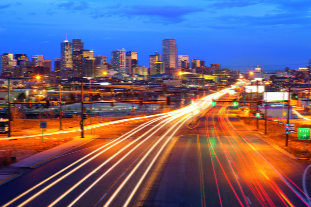 Denver.