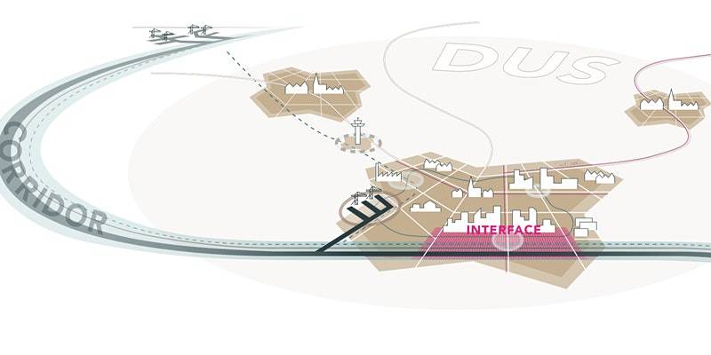
New approaches for collaborative planning in corridors and urban regions
The development of the transport system takes place at different spatial levels and involves many stakeholders such as governments and transport organisations. The achievement of a sustainable and integrated transport system is essential for a good functioning of society, economy and environment. However, when planning the transport system, different stakeholders on different levels of scale face an on-going pressure to collaborate and integrate the planning and development of their part with other parts of the system. There is a need to link topics such as SUMPs and TEN-T.
The CEDR projects on collaborative planning ‘SPINtrends’, ‘SPINdesign’, ‘SPADE’ and the EU H2020 project ‘Vital Nodes’ and ‘Networking for urban Vitality (NUVit)’ have joined their forces to present and discuss the topic raised above. The outcome will serve amongst others as input for a vision for CEDR on how to approach the topic and for the EU to make further steps in deployment and research in connecting the different levels of governance. The main objective of the session is to discuss the ‘next steps’ in integrated, collaborative planning of infrastructure and spatial development.
The Webinar is organised in the scope of TRA2020.
The link to the event with access details will be sent by email few days before the webinar.
Agenda
1) Introduction, Erik Verroen, Rijkswaterstaat (10 Min)
2) Short Presentations and Reactions (30 Min):
- Prof. Dr. Jos Arts, University of Groningen/ Rijkswaterstaat: Corridor Planning and the interaction between different spatial levels
- Ricardo Poppeliers, Ecorys: Planning in Functional Urban Areas and the relation to other spatial levels
- Karin Markvica, AIT: Trends in integrated planning for infrastructure and spatial development.
- Robert Broesi, MUST: Design of collaborative planning for different stakeholders
- Jan Kiel, Panteia: Evaluation assessment in collaborative planning with multimodal spatial levels
3) Panel Discussion (40 Min)
4) Conclusions (10 Min)
The webinar takes place on 24 June from 14:00 - 15:30. You can find out more and register here.
